A first-of-its-kind study led by PhD student Jennifer Arthur in our Department of Geography has investigated the formation of surface meltwater lakes around the world’s largest ice sheet, offering new insights into the potential impact of recent climate change on the frozen continent.
Mapping meltwater from space
The East Antarctic Ice Sheet is the world’s largest ice mass and holds enough ice to raise global sea levels by around 52 metres.
The study, published in Nature Communications, used over 2000 images from the Landsat 8 satellite, taken between 2014 and 2020 to study the size and volume of meltwater lakes forming on top of the ice sheet, also known as supraglacial lakes.
This is the first time that a year-on-year comparison of these lakes has been undertaken, and the team found that the volume of the meltwater lakes varied annually by as much as 200 per cent on individual ice shelves (floating extensions of the main Antarctic ice sheet), and by around 72 per cent overall.
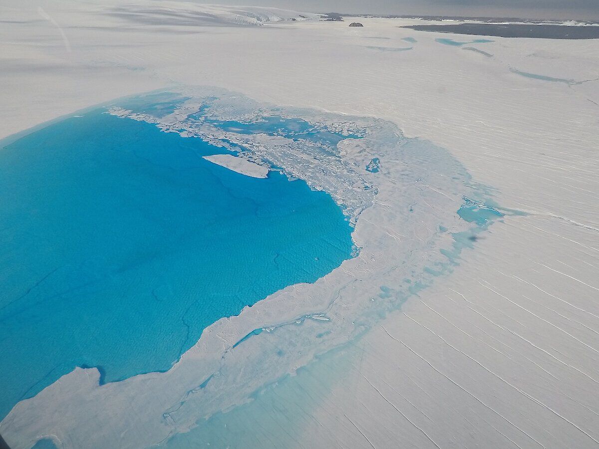
Meltwater lake on the Sørsdal Glacier East Antarctica (Photo Sue Cook, UTAS)
Understanding ice shelf stability
The researchers think it likely there will be an increase in the number and volume of meltwater lakes as air temperatures in Antarctica are expected to rise with climate change. This could threaten the future stability of some of East Antarctica’s ice shelves.
This study will help experts understand why and where lakes grow around the ice sheet and to consider which ice shelves may be most at risk of collapse from surface melting in future.
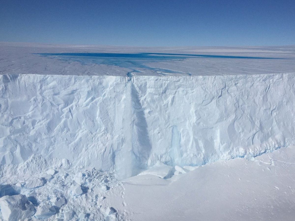
Meltwater lake on the Sørsdal Glacier. (Photo Dave Lomas)
Find out more:
- This study was led and supported by the Natural Environment Research Council.
- The research team also included colleagues from Newcastle University, Lancaster University and Georgia Institute of Technology.
- Discover our geography undergraduate and postgraduate opportunities.